
 EN
EN
 ar
ar bg
bg hr
hr cs
cs da
da nl
nl fi
fi fr
fr de
de el
el hi
hi it
it ko
ko no
no pl
pl pt
pt ro
ro ru
ru es
es sv
sv tl
tl iw
iw id
id lv
lv lt
lt sr
sr sk
sk sl
sl uk
uk vi
vi et
et hu
hu th
th tr
tr fa
fa ms
ms hy
hy ka
ka ur
ur bn
bn mn
mn ta
ta kk
kk uz
uz ku
ku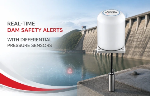
Real-Time Dam Safety Alerts with Differential Pressure Water Level Sensors
Key Takeaways An alert chain needs more than a sensor: define field in...

GNSS Settlement Sensors That Simplify Site Monitoring
Most geotechnical projects still rely on manual surveying to track settlement—it is time-consuming, weather-dependent, and leaves gaps in the data. GNSS settlement sensors change that by delivering real-time, millimetre-level displacement measurements directly from the field. At Kingmach, we build these sensors for continuous operation in places where access is difficult and conditions are harsh: open-pit mines, tailings dams, landslide-prone slopes. Our approach comes from years of manufacturing geotechnical instruments, not just reselling them. That means we can often adapt the hardware or data transmission to fit your site’s power, communication, and mounting constraints—without locking you into a proprietary ecosystem. The data feeds into standard monitoring platforms, so your team can see trends, set alerts, and make decisions before a small movement becomes a costly problem.
Technical Detail
How do GNSS settlement sensors fit into a typical monitoring setup? They sit at critical points—on a dam crest, a bridge pier, or a retaining wall—and record 3D displacements around the clock. Each sensor combines a multi-constellation GNSS receiver (GPS, GLONASS, BeiDou, Galileo) with a ruggedised antenna and an onboard processor that handles positioning calculations locally or streams raw observations to a central server for post-processing. Power can come from solar panels or site mains; data goes out over 4G, radio, or local network, depending on what is available at your location. Kingmach’s range is built for the middle ground: you get survey-grade accuracy without paying for short-lifespan “disposable” units or over-specified research-grade systems. We manufacture the core components in-house, so we can tune firmware, mounting brackets, and data formats to your project. This is especially useful when you need to integrate settlement readings with other instruments—inclinometers, piezometers, weather stations—into one dashboard. After installation, our support engineers stay involved, helping with baseline calibration, remote diagnostics, and firmware updates. That continuity means fewer site visits and less guesswork when an alert fires. The sensors have been used on tailings storage facilities in South America, rail embankments in Europe, and urban excavation projects in Asia—settings where false alarms or missed movements carry real safety and financial risk. If your next monitoring programme involves settlement or heave, it is worth asking whether a few well-placed GNSS sensors could replace a schedule of manual surveys and deliver a clearer picture of what the ground is doing.
News
Key Takeaways An alert chain needs more than a sensor: define field in...
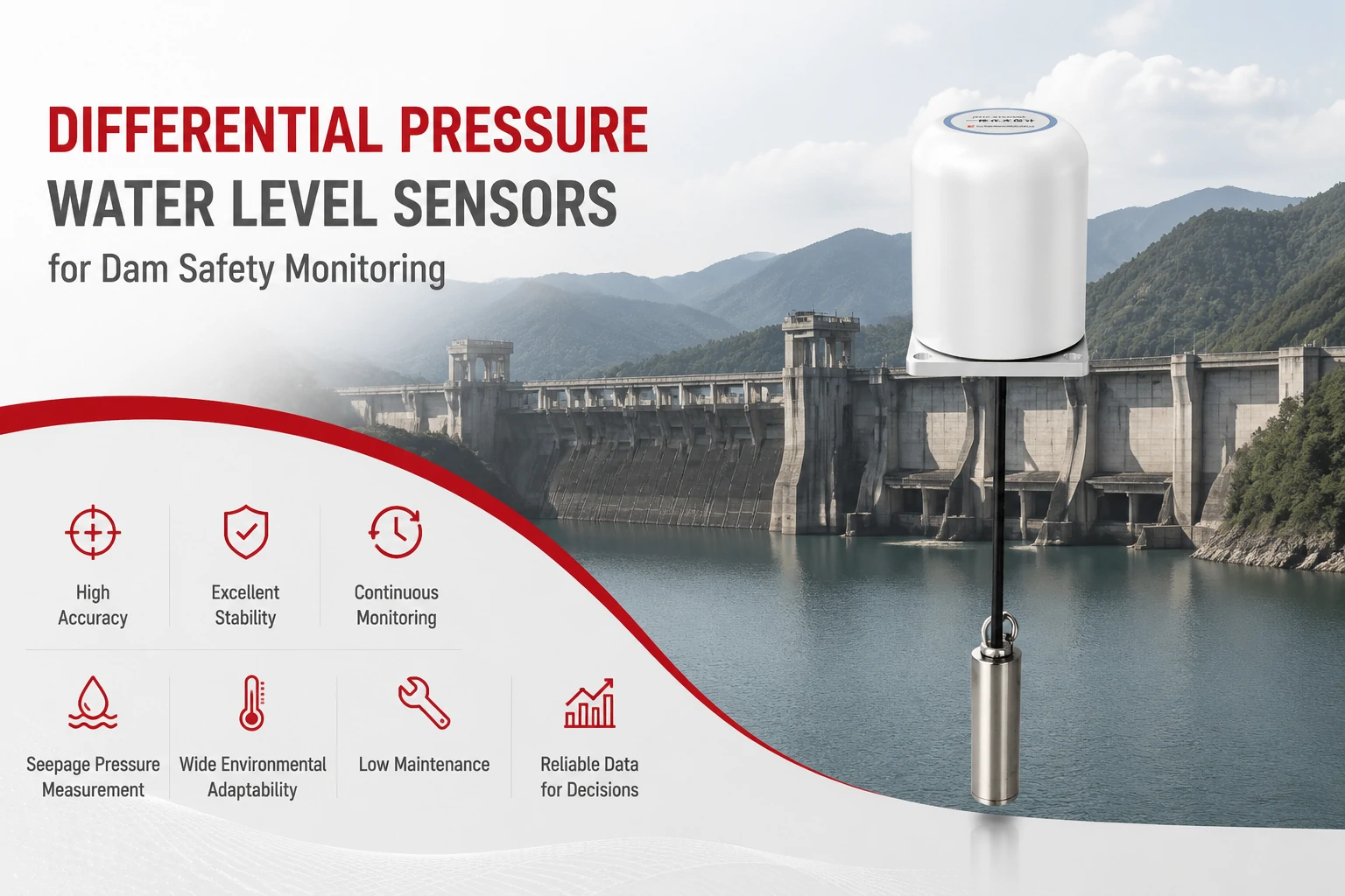
Key Takeaways The strongest fit is usually a confined, submerged, or s...
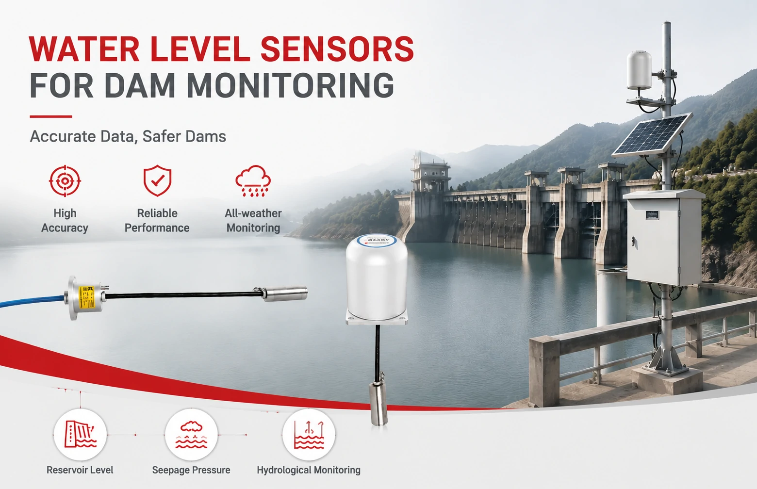
Kingmach Water Level Sensors for Dam Monitoring: A Buyer's Guide to Differential Pre...
Products
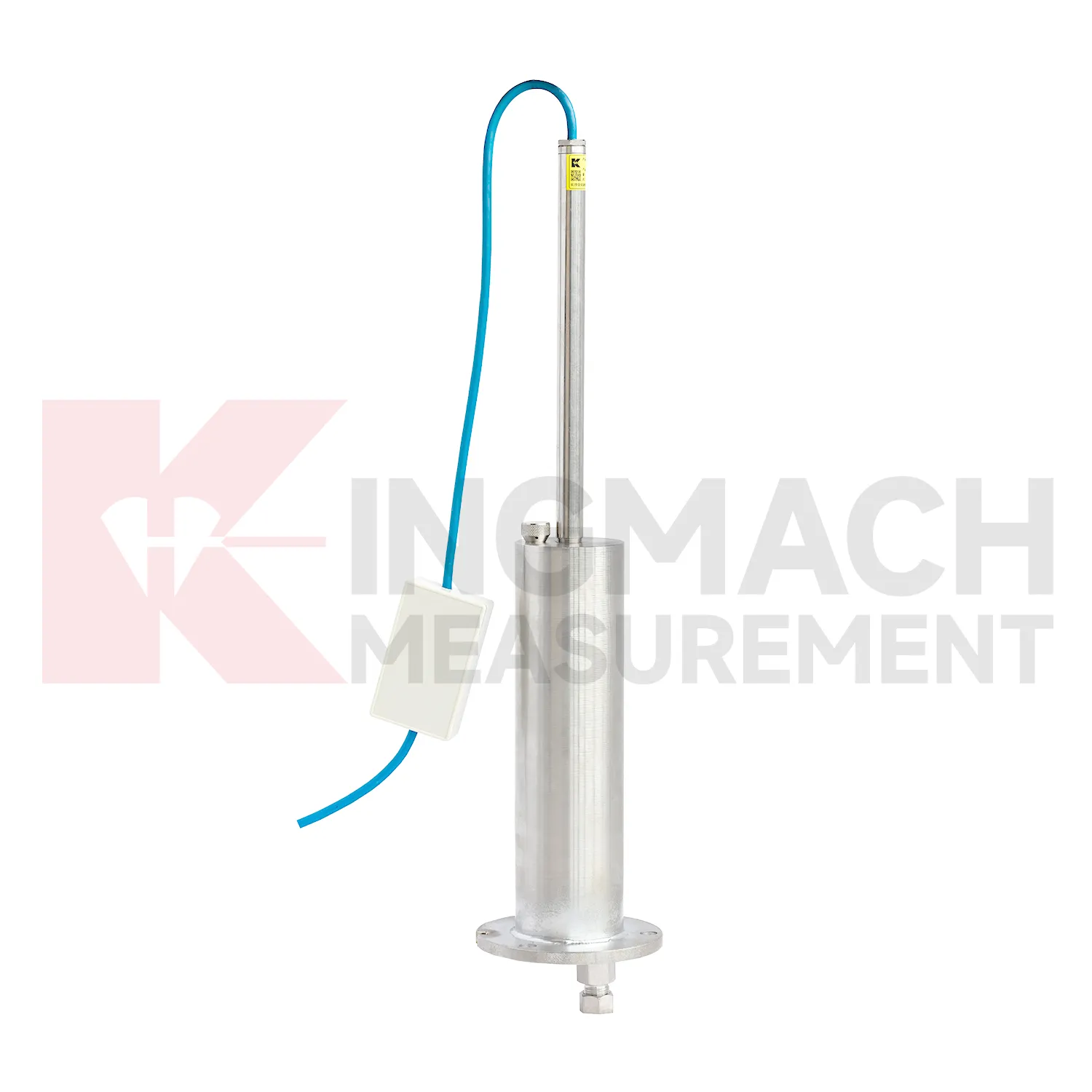
Inductive Frequency-Modulated Hydrostatic Level SensorJMDL-62XXAT、ADT
View Details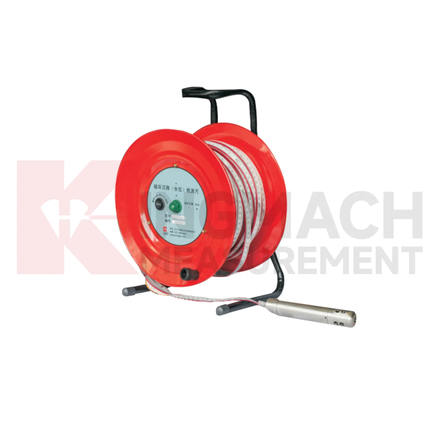
Magnetic Ring Settlement Water Level Gauge JMCJ-1003、1005
View Details
FAQ
They work well on large-area or slow-moving sites where manual surveying is expensive or unsafe—think tailings dams, open-pit mines, landslides, and large construction excavations. They are less suited to indoor or deeply underground installations where the sky view is blocked.
A properly installed GNSS sensor typically delivers 5–10 mm horizontal and 10–20 mm vertical accuracy in real-time, improving to a few millimetres with post-processing. Total stations can be more precise over short distances but require line-of-sight and stable reference points, which can be limiting on large or terrain-constrained sites.
Yes. They can store data locally and forward it over radio links or satellite modems. Solar-powered setups are common; we can size the system to match your site’s sun profile and reporting interval.
Definitely. The architecture supports adding sensors to the same monitoring network. As long as the communication method (radio mesh, 4G, etc.) accommodates more nodes, you can expand gradually.
Share your product type, target capacity, and application requirements. Our team can review the details and recommend a practical next step.
If you are interested in our products or want to become our partner.
Please leave your contact information, our team will contact you as soon as possible.
Mail: [email protected]
Contact Us: +8613808434127
Address: No. 188 Tongzipo West Rd, Changsha, Hunan, China